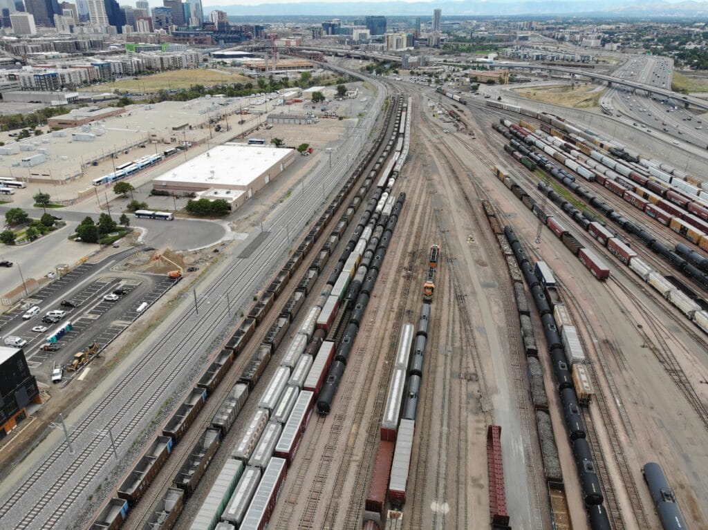
Our FAA Part 107 certified drone/unmanned aerial vehicle (UAV) pilots can handle any of your environmental monitoring, mapping, surveying and inspection needs. EWI’s Remote Pilot Certified professionals offer drone services throughout the central states and Rocky Mountains.
Our Services
- Surveying and mapping
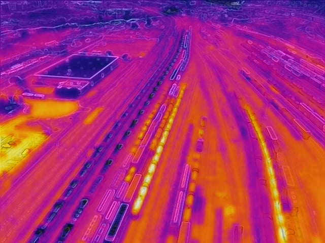
- Inspections using thermal imaging
- Imaging of hard to reach incident areas
Our Drones
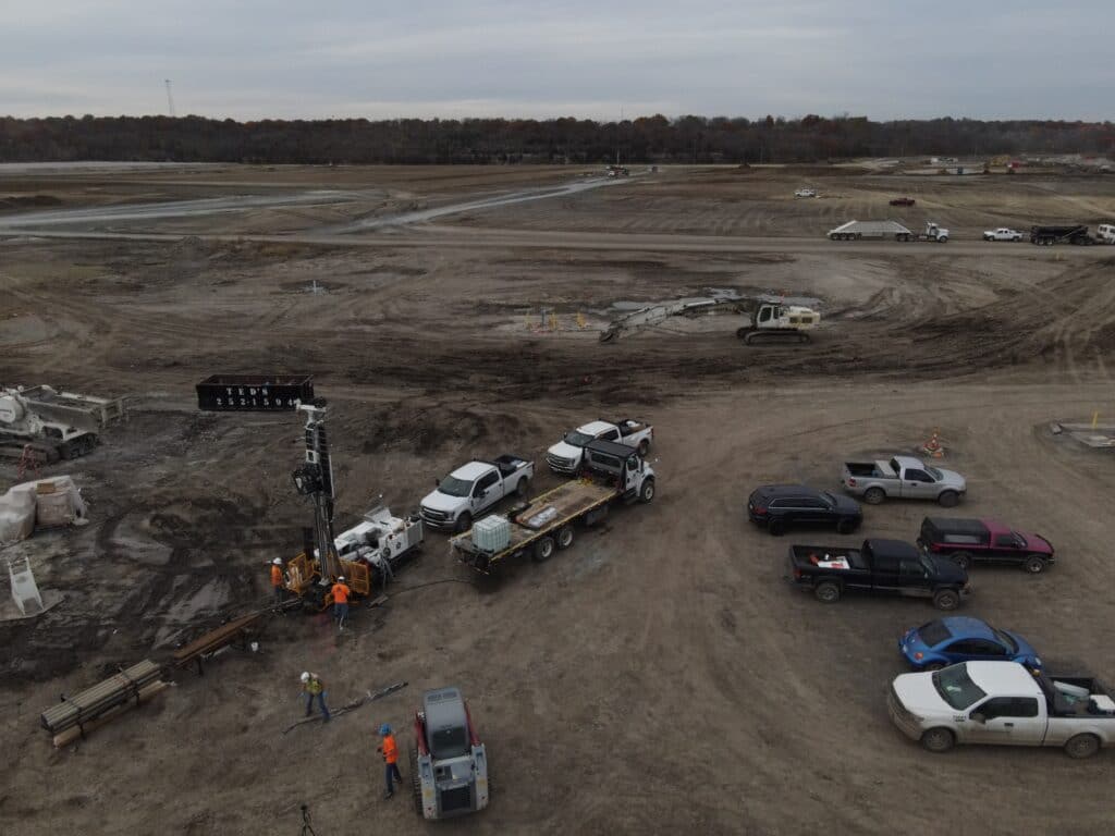
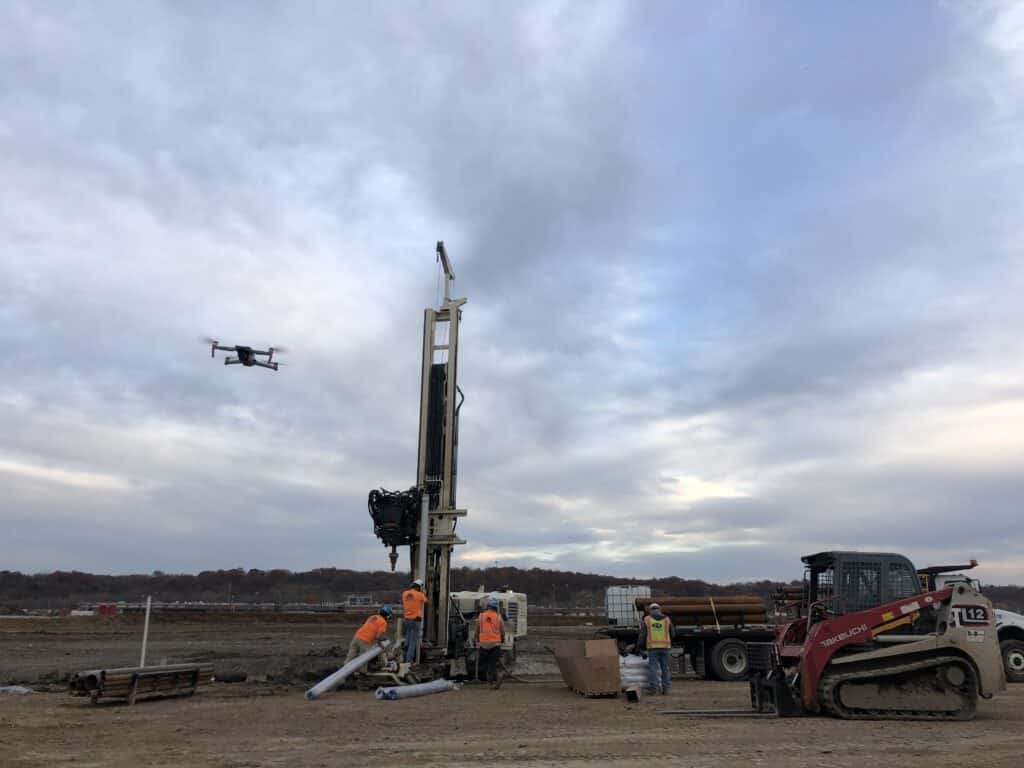
Whether you need emergency management, monitoring of a construction site or excavation area, or a tank or environmental compliance inspection, our team can help you assess which of these EWI-owned drones is best for your project:
- Phantom 4 Pro
- Capable of shooting 4K/60fps videos and 20MP photos
- Ideal for inspections, as well as surveying and mapping
- Mavic 2 Enterprise
- Offers forward-looking infrared (FLIR) thermal imaging and GPS timestamping
- Ideal for detail capture in hard-to-reach areas
Our Process
Using DroneDeploy mapping software, our experienced in-house team can pre-program an ideal drone flight path to fit your project’s specific needs. Our services also include pre-flight planning and post-flight data processing.
Pre-flight planning
- Boundaries of flight
- Estimated flight time
- Flight altitude (directly related to accuracy)
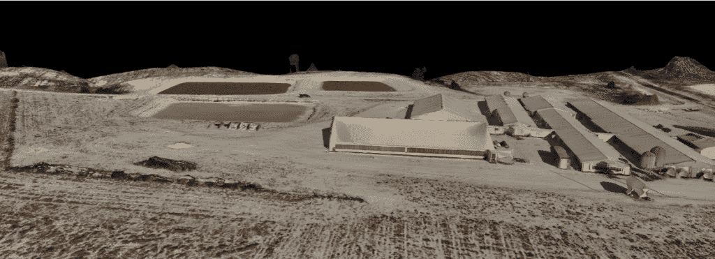
3D Model
Post-flight data processing
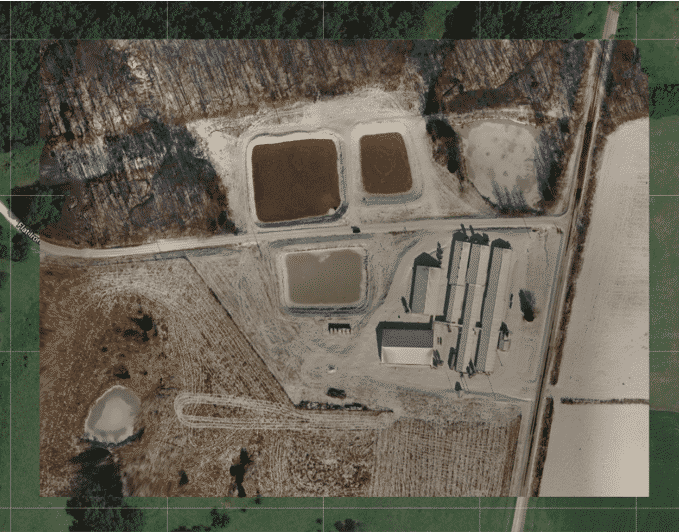
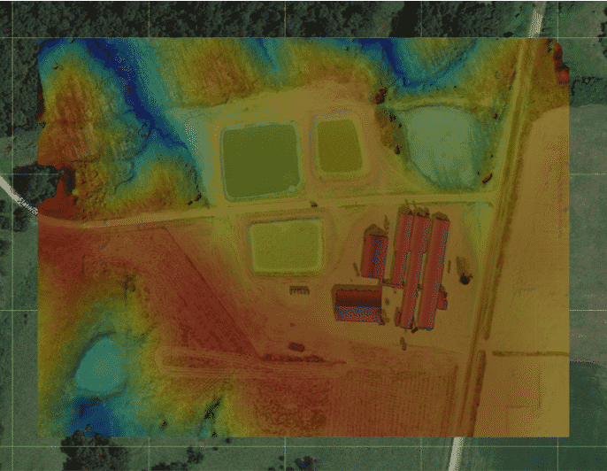
- Production of 2D Orthomosaic and 3D Model maps
- Aerial imagery and video
- Identification of point elevations, distances, vertical profiles, and cut and fill volumes
-

- Orthomosaic
-

- Elevation Gradients
Contact Us
Interested in our drone services? Email our team of FAA-certified pilots and drone experts at drones@environmentalworks.com, and someone will get back to you shortly.
Request a Quote
Need a quote on a specific project? Fill out our quick and easy quote form.